This spring when I was talking to a friend of mine about her planned trips to Algonquin Park for the summer of 2015 she mentioned they were going to try to go to Eustache Lake. She'd heard that there were some nice cliffs along the lake's edge.
 |
| Jeff's map |
But we've had a really warm November. And December. With hardly any snow. I've been seeing Kevin Callan's posts on Facebook - he's off canoe camping somewhere right now. I managed to convince LT that the park held one more adventure for us in 2015.
We don't have any winter camping gear. But if we cleared our calendars we could take the day and just make it our destination, turn around and come home. LT was a bit hesitant to carry a canoe through the forest for over 2 kms, especially with no guarantee that when we got to the portage end there'd be a place to put in that wasn't frozen over. I suggested we could just hike in and check it out for a future trip.
On Saturday I went over and helped LT put the canoe back together. He'd tucked in it for the winter by taking out all the wooden thwarts and the seats. I planned a hot lunch and breakfast to eat in the car. I packed my big backpack with the following: my chair, the stove with fuel, the kettle, a blanket, the saw (in case we needed to make a fire), and a lunch bag with 2 thermoses full of beef stew, buttered rolls, clementines, toffee, chocolate fudge, teabags and sugar. I brought my DSLR camera and hiking poles.
We were on the road by 8 a.m. on Sunday, December 20, 2015 driving up to the Sand Lake Gate. We stopped there to pay the daily fee, it said $14.50 (cash you put in an envelope and drop into a slot - so no change given!). We continued on the long drive to our destination - A52.
There are a LOT of logging roads on this access road. Nothing much is marked past the road into the Achray access point. We went the right way at first, but the road became so narrow we thought we had turned down the road at the bottom of the map above. We took the other way and ended up at the Lake Travers access point. It was not as expected. We both thought there'd be more signage and maybe something like a dock or boat launch. That lake can have seasonal motorboats. We go out and walked around, I took a few pictures.
 |
| Road into the parking for Lake Travers |
 |
| Petawawa River going into Lake Travers |
 |
| Looking upriver from the access point |
We saw a lot of vehicles coming out of the park as we drove the 75+ km from the gravel road beginning to this point, mostly trucks. There was a sign at the Sand Lake Gate saying that there is hunting right up until the beginning of January and to take care, stick to park routes, no bushwhacking.
Time to turn around and go back to the road we doubled back from. We went back to it, got to a trailer parked at a fork in the road and decided to take the other fork. Bingo, this was the one. However again we ran into an issue with signage. There was no sign to indicate access point A52. In fact, it looked like we needed to drive a short piece on the abandoned rail bed. It wasn't rough going. We didn't see any portage signs to indicate that we needed to park and head out on foot. We got to a point on the railbed where a couple of very large rocks had been placed and there was a gate. We parked the car, got out, walked around and decided we were on the right track (haha, get it? right track? train track?).
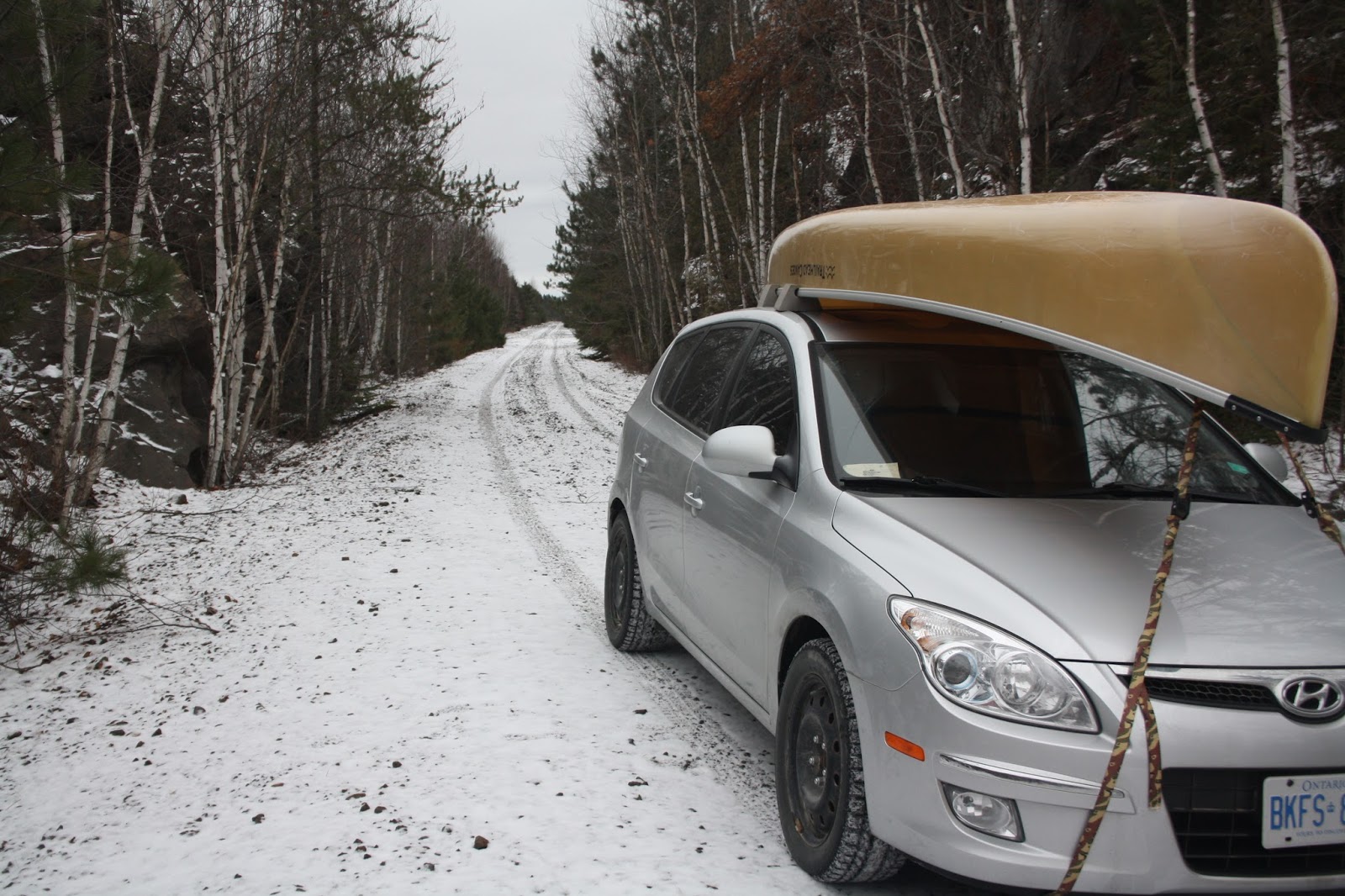 |
| I don't see any parking here???? |
Within 500 meters we found the portage sign.
 |
| A sign! |
 |
| Wolf tracks - coming towards us |
 |
| Lovely forest trail |
 |
| Yes there is a man carrying a canoe in the woods on December 20, 2015 |
Besides the wolf tracks we saw rabbit, squirrel (or chipmunk) and mouse tracks. Chickadees serenaded us at times in the forest and the odd jay called out a warning we were coming.
See here for Part 2.
No comments:
Post a Comment